Kailash Mansarovar Yatra: Routes, Permits, the Kora and What It Really Demands
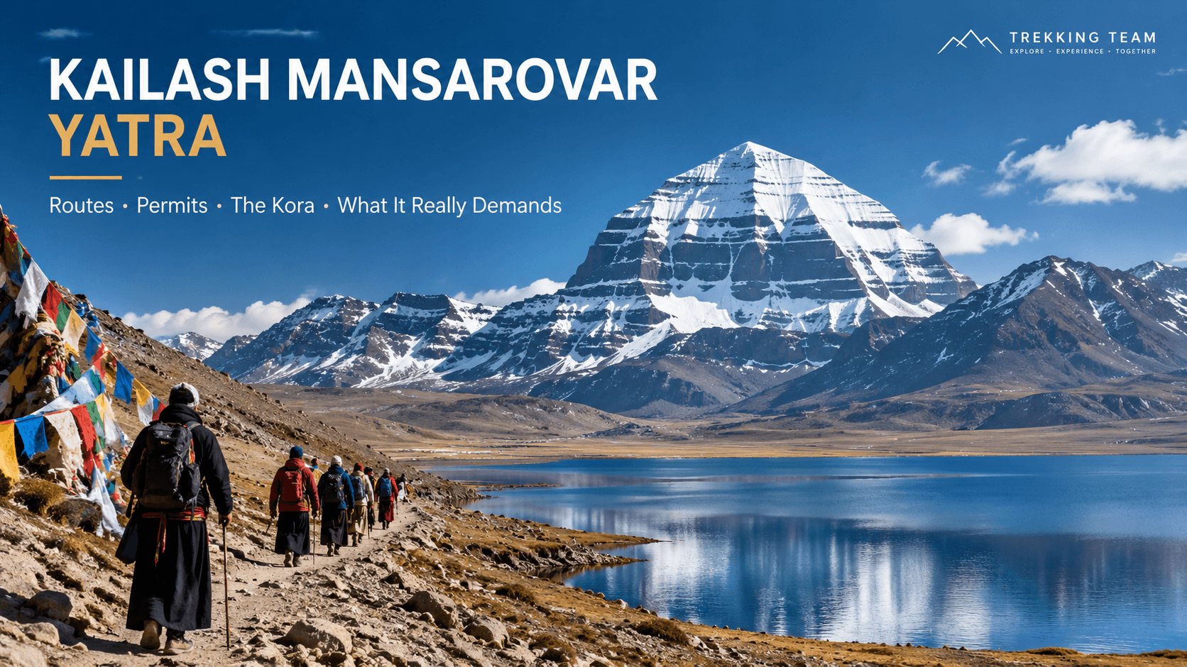
Kailash is not a trek you book because you fancy the scenery. Almost everyone who goes is going for a reason, and the mountain has held that meaning for Hindus, Buddhists, Jains and Bon practitioners for longer than any of those traditions have written records.
It is also, practically speaking, one of the hardest journeys we run. Not because of technical difficulty, but because of altitude, distance and the sheer administrative weight of getting a group of foreign nationals into western Tibet. People underestimate all three.
This is what the yatra actually involves.
What the yatra is
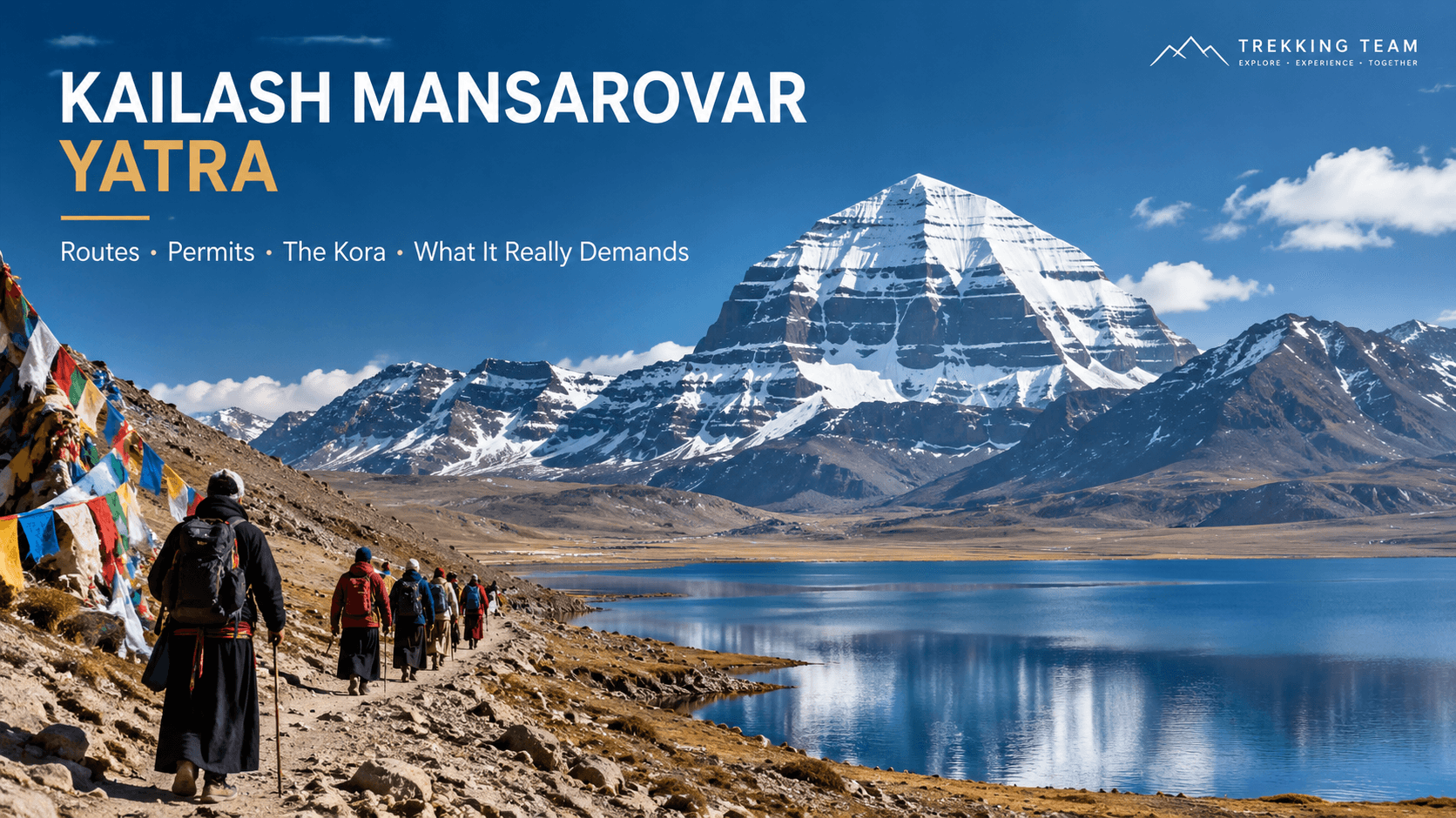
Mount Kailash, 6,638 m, stands alone on the Tibetan plateau north of the Himalayan chain. It has never been climbed and, by agreement, never will be. Four of Asia's great rivers rise within 100 km of it: the Indus, the Sutlej, the Brahmaputra and the Karnali.
The journey has two parts. First, Lake Mansarovar at 4,590 m, where pilgrims bathe and perform puja. Then the kora, the circumambulation of the mountain itself: 52 km on foot over three days, crossing the Dolma La at 5,630 m.
Hindus and Buddhists walk the kora clockwise. Bon practitioners walk it anticlockwise, and you will pass them coming the other way, which is one of the more quietly remarkable things about the route.
The routes in
Overland from Kathmandu via Kerung
Historically the standard route: drive from Kathmandu to the Rasuwagadhi border, cross into Tibet at Kerung, then a long drive west across the plateau via Saga and Paryang to Mansarovar and Darchen. Two long driving days each way over 4,500 m, which acclimatises you if it is paced properly and wrecks you if it is not.
Important for 2026: the August 2026 flood swept away the Miteri bridge at Rasuwagadhi and the crossing is closed. This route is not available at present, and we are running Kailash groups via Lhasa instead.
Via Lhasa
Fly Kathmandu to Lhasa, spend two or three days at 3,656 m seeing the Potala, Jokhang and the great monasteries, then drive west via Shigatse, Saga and Mansarovar. Longer and more expensive, but the acclimatisation profile is far better and you see central Tibet on the way. This is what we recommend and what we are running.
Via Simikot and Hilsa
Fly Kathmandu to Nepalgunj, then Simikot in Humla, then trek or fly by helicopter to the Hilsa border. Shorter driving distances and it stays in Nepal longer, which some pilgrims prefer. The weakness is weather: both flights are small aircraft into mountain strips and cancellations are routine, so you must build in spare days.
By helicopter
Increasingly popular with older pilgrims and those short on time. Helicopter from Simikot to Hilsa cuts several days. It does not remove the altitude problem; if anything it worsens it, because you arrive high fast.
Permits: start early
This is the part that catches people out, so it is worth being blunt about it.
You cannot travel independently in Tibet. Every foreign visitor must be on an organised group tour with a licensed Tibetan guide and a permitted vehicle. For Kailash you need four documents: the Chinese group visa, the Tibet Travel Permit, the Alien's Travel Permit, and the Kailash area permit.
The group visa is a single physical document covering the whole group. That has three consequences people do not expect:
- We need clear passport scans at least 25 days before departure, and in peak season more.
- You cannot join the group partway through, and you cannot leave early on your own.
- If you already hold an individual Chinese visa in your passport, it must be cancelled before the group visa can be issued.
Indian nationals travelling on the Nepal route follow this same process. The separate government-organised yatra through Lipulekh and Nathu La is a different scheme run by the Indian Ministry of External Affairs with its own application window and medical screening, and it is not something a Nepali operator can arrange.
When to go
May to September only. The plateau is impassable outside that window and the guesthouses at Darchen close.
Saga Dawa, falling on the full moon of the fourth Tibetan month, usually in late May or June, marks the Buddha's birth, enlightenment and passing. The flagpole at Tarboche is raised and thousands of pilgrims gather. It is the most significant time to be there and also the most crowded, and both those things are true at once.
July and August bring some rain to the approach roads but the Kailash region itself sits in rain shadow and stays largely dry. September gives the clearest skies and the thinnest crowds.
The altitude, honestly
This is the hardest thing we run, and altitude is why.
You will spend most of the trip above 4,500 m. Mansarovar is at 4,590 m. Darchen is at 4,670 m. The Dolma La, the high point of the kora, is 5,630 m, which is higher than Everest Base Camp and higher than Kala Patthar.
And unlike a Nepali trek, you get there by vehicle. There is no gradual walking ascent to condition you. That is precisely why we recommend the Lhasa route: those first days at 3,656 m and the staged drive west through Shigatse and Saga are doing real physiological work, and the itineraries that skip them are gambling with your trip.
What we do about it: staged ascent with nights at intermediate altitudes, a rest day before the kora begins, pulse oximeter checks morning and evening, supplementary oxygen carried by the guide, and a support vehicle that shadows the group on the first and third kora days. A horse and a porter can be arranged for the kora if you want the security of the option, and there is no shame in taking it.
Who should think twice: anyone with a heart condition, uncontrolled high blood pressure, severe asthma or COPD, or who is pregnant. Get a proper medical opinion before you book, not after.
The kora, day by day
Day one, Darchen to Dirapuk, about 20 km. A gentle start along the Lha Chu valley, past the Tarboche flagpole, with the north face of Kailash coming into view and staying there. Five to seven hours. Dirapuk guesthouse sits at 4,900 m directly beneath the north face, and if the sky is clear that evening it is worth staying outside in the cold to look at it.
Day two, Dirapuk to Zutulpuk over the Dolma La, about 22 km. The hard day. A steep climb of 700 m to the pass at 5,630 m, marked by prayer flags and the Dolma stone, then a knee-punishing descent past Gauri Kund to the Lham Chu valley. Ten to fourteen hours for most people. You start before dawn.
Day three, Zutulpuk to Darchen, about 10 km. An easy walk out along the river to meet the vehicles. Three to four hours.
Charan Sparsh, the inner kora to the foot of the mountain, is available to those who have completed thirteen outer koras. It is not part of a standard itinerary and we will not pretend otherwise.
What to bring
Conditions on the plateau are harsher than most people picture: intense sun, hard wind, freezing nights, and dust in everything.
- A sleeping bag rated to minus 10 C or better. Guesthouse bedding is not sufficient and not always clean.
- Down jacket, windproof shell, thermal layers, warm hat and gloves. Even in June.
- Category 4 sunglasses and high factor sunblock. Plateau UV is severe.
- Broken-in walking boots and trekking poles, which matter more on the Dolma La descent than the ascent.
- A headtorch for the pre-dawn start, a thermos, and enough of your own snacks that you are not depending on what is available.
- All personal medication in original packaging, plus rehydration salts.
- Wet wipes and hand sanitiser. There are no showers on the kora and the toilets are basic.
Frequently asked questions
How difficult is the Kailash Mansarovar yatra?
Physically it is the hardest trip we run, but the difficulty is altitude rather than terrain. There is no climbing. You need to be able to walk ten to fourteen hours in a day at over 5,000 m, having already spent a week above 4,500 m. Ordinary walking fitness plus a properly staged itinerary gets most people around.
How long does the Kailash kora take?
Three days for the 52 km outer kora, with the Dolma La at 5,630 m crossed on the second day. Tibetan pilgrims routinely do it in one day and occasionally in a single very long push; that is not what a visiting group should attempt.
What permits do I need for Kailash?
A Chinese group visa, Tibet Travel Permit, Alien's Travel Permit and the Kailash area permit. All four are arranged by us against your group booking. Independent travel is not permitted. Send passport scans at least 25 days before departure.
Can I do the Kailash yatra from Kathmandu overland in 2026?
Not via Rasuwagadhi at present. The August 2026 flood destroyed the Miteri bridge and the crossing is closed. We are running Kailash groups by air to Lhasa and overland from there, which also gives a better acclimatisation profile.
What is the best month for Kailash?
May to September. Saga Dawa in late May or June is the most significant religiously and the busiest. September has the clearest weather and the fewest people.
Is there an age limit?
There is no legal limit and we have taken pilgrims well into their seventies around the kora. What matters is cardiovascular health, not the number. Anyone over 60, or with any heart, lung or blood pressure condition at any age, should get a doctor's clearance specifically mentioning sustained exertion above 5,000 m.
Can I ride a horse on the kora?
Yes, on the first and third days and for most of the second. Horses and porters are arranged at Darchen and cost extra. Book it in advance during Saga Dawa, when demand outstrips supply.
Planning your yatra
We have been taking pilgrims to Kailash for decades and we work with the same Tibetan guides and drivers year after year, which in western Tibet is worth more than any brochure.
If you are considering the yatra, write to us early. The permit timeline is the binding constraint and the groups that go smoothly are the ones that started their paperwork three months out rather than three weeks.